
Project Description
This project explores upscaling of Digital Elevation Model (DEM) data using a state-of-the-art super-resolution model. The model used is from the 2023 paper, “A Global-Information-Constrained Deep Learning Network for Digital Elevation Model Super-Resolution.”. For more details and original implementation see the paper . The article demonstrated the model’s ability in enhancing the resolution of DEM data beyond traditional bicubic interpolation methods, which are often considered the baseline to beat for super-resolution models on DEM data.
GitHub Repository: funinkina/DEM-Super-Resolution
Challenges:
Traditional SuperResolution models that work well for RGB images do not always yield satisfactory results when applied to DEM data. RGB images and DEM data are inherently different in their composition and characteristics. While RGB images have three channels and a value range from 0 to 255, DEM data operates on a single channel and typically showcases a larger value range, such as from 0m to 4000m.
Model Details
Dataset
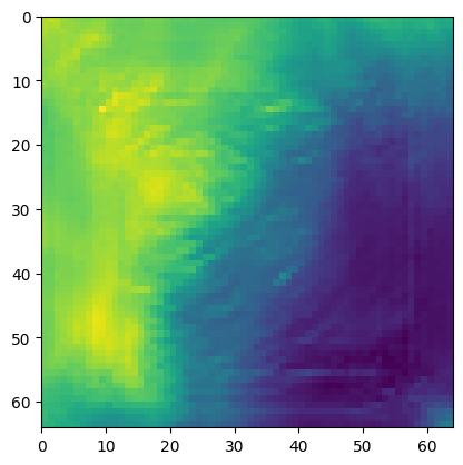
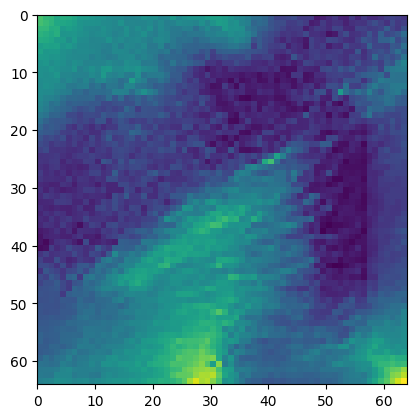
The freely available 25m resolution bathymetry DEM data used in this project represents the seafloor at the Mid-Atlantic Ridge, specifically the Mohns Ridge. It can be accessed here .
Methodology
- Model: The GISR (Global-Information-Constrained Deep Learning Network for Generating Super-Resolution DEMs) model is employed. It operates on 64x64 pixel images to produce high-resolution outputs.
- Training: Initialized with pre-trained weights from the authors, this model harnesses prior knowledge from training on a vast image pair dataset. Fine-tuning on own dataset refines performance. However, this requires a lot of data for optimal results.
Image Preparation:
- HR Images: Large HR images (1653x1624 pixels) are segmented into 64x64 pixel patches for ease of processing.
- LR Image Creation: Corresponding LR images are generated by down-sampling HR images using kNN, where each pixel value in the LR image is estimated based on its k nearest neighbors from the HR image.
Training Process:
- The paired LR-HR images become the training data for the super-resolution model.
- Training spans 239 epochs: 99 epochs with the pretrained weights followed by 140 epochs on own specific dataset.
- During this phase, a batch size of 32 is maintained.
- Performance is evaluated using the PSNR (Peak Signal-to-Noise Ratio) and SSIM (Structural Similarity Index) metrics.
While the model showcased promising results for small demonstrations, it was not particularly suitable for generalizing to a large-scale processing tool. This would require significant changes and code optimization.